GR®65
The Le Puy route
The call of Compostela
A trail to Santiago de Compostela, to be planned at your own pace, one stage at a time.
Plan your stops and accommodation.
Discover the route on Mon GR, opens in a new tab CMATERRE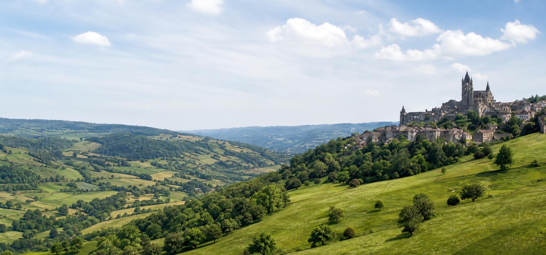
Walk · Discover · Preserve
Plan your hike, discover wildlife and care for the places you walk through.
Create your account to plan and save routes. Find them again on iPhone with the same account.
Plan my routeCMATERRE on iPhone
Build your route on a large screen, choose each stage and find accommodation. Take your saved routes with you on iPhone.
Public availability will be announced here.
Plan my route
Great adventures
Compostela, Stevenson, Corsica… Find inspiration in these great routes, then build your journey with your own stages and accommodation.
The Le Puy route
A trail to Santiago de Compostela, to be planned at your own pace, one stage at a time.
Plan your stops and accommodation.
Discover the route on Mon GR, opens in a new tabFrom Velay to the Cévennes
A walking adventure through the landscapes of the Massif Central, following Robert Louis Stevenson’s trail.
Adapt each day to your walking pace.
Discover the route on Mon GR, opens in a new tabAcross Corsica
A demanding mountain route for experienced walkers who want to plan every stage carefully.
Check the weather, trail conditions and mountain huts.
Discover the route on Mon GR, opens in a new tabDepartures, arrivals, stops and accommodation: plan your multi-day hike on a large screen.
Plan my adventureRoutes presented by FFRandonnée / Mon GR®. Check the latest trail information before setting off.
The CMATERRE community
Save your routes and share them with the community. Help others discover your favourite walks and find inspiration for your next outing.
A walk close to home or several stages on a great trail: inspire others to follow in your footsteps.
Gather your hiking information in a PDF to send to your walking companions or print before departure.
Meet your companions in a group, chat together and share routes while planning your outing.
A real example
Explore a trail book generated with CMATERRE: 6 stages on the GR65, with photos, maps, elevation profiles and accommodation.
View the PDF trail book — opens in a new tabExample personalised trail book · 7 pages · 7 MB. Dates, prices and bookings belong to this example and do not indicate current availability.
CMATERRE recognition
A flower beside the trail, an insect on a leaf, a passing animal… A photo can be the start of a discovery.
In the iPhone app · currently in testingPhotograph a plant and receive an identification suggestion to learn more about it.
Observe the trail’s smallest visitors with animal recognition, without disturbing them.
Learn to recognise a wild encounter from a photo while keeping your distance.
From an existing photo or one taken on site, CMATERRE indicates whether ragweed is likely and displays a confidence level.
In your CMATERRE test version, open “Identify a plant”, “Identify an animal” or “Detect ragweed”, then choose a clear photo or take a new one. Insects are included in animal observations.
For likely ragweed, check the photo, confidence level, GPS position and municipality before preparing the report.
Recognition is not yet available on this website. Public iPhone access depends on the app’s availability.
Identification is a suggestion, not a certainty. “Likely ragweed” is not expert confirmation. Never eat a plant based on this result alone. Do not touch animals or disclose the location of vulnerable species.
Responsible hiking
Enjoying the trails also means caring for them. With CMATERRE, everyone can help by reporting litter and likely ragweed encountered while walking.
Observe. Report. Preserve.
Talk to CMATERRELocate the litter or photograph the suspected plant. Do not handle dangerous objects or pull up an unconfirmed plant.
CMATERRE prepares the appropriate litter or ragweed report with the photo, GPS position and municipality.
The message is adapted to the report type and sent with the useful information to help the municipality take action.
Tracking on iPhone
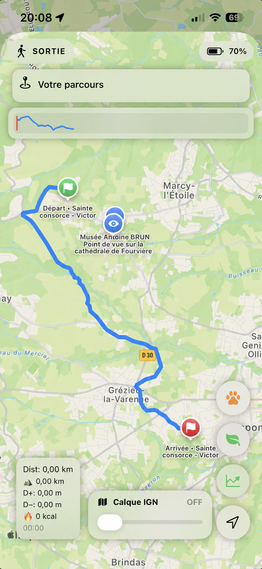
Follow your route as you walk and use the essential markers to understand your progress.
Turn on the alert and choose a distance from your route to be notified if you stray from it.
See your distance travelled, total ascent and total descent during your outing.
View the elevation profile as it builds during your walk using GPS points that include altitude.
Tracking and alerts require location access and a sufficient GPS signal. They do not replace your own vigilance outdoors.
Before and during your walk
Find places to stay and organise stops along your route.
Bring the practical information for your hike together in a PDF.
On iPhone, save your parking location so you can find your starting point again.
Your next departure